An Experiment in the Everyday

Places are fragmentary and inward-turning histories, pasts that others are not allowed to read, accumulated times that can be unfolded but like stories held in reserve, remaining in an enigmatic state . . .
[Michael de Certeau, The Practice of Everyday Life, Walking in The City] 

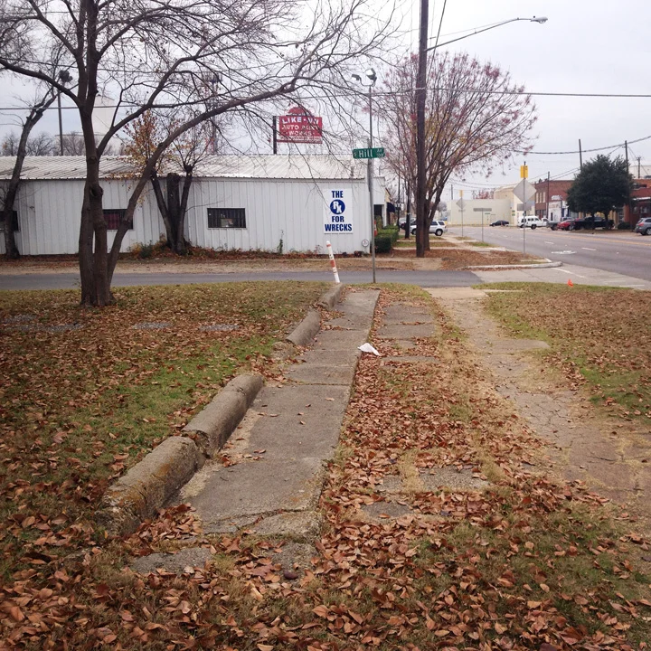
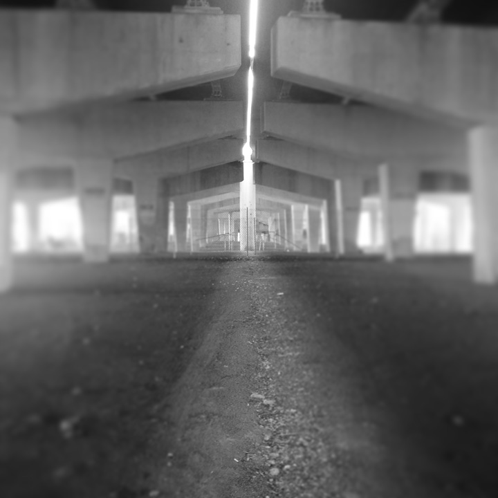
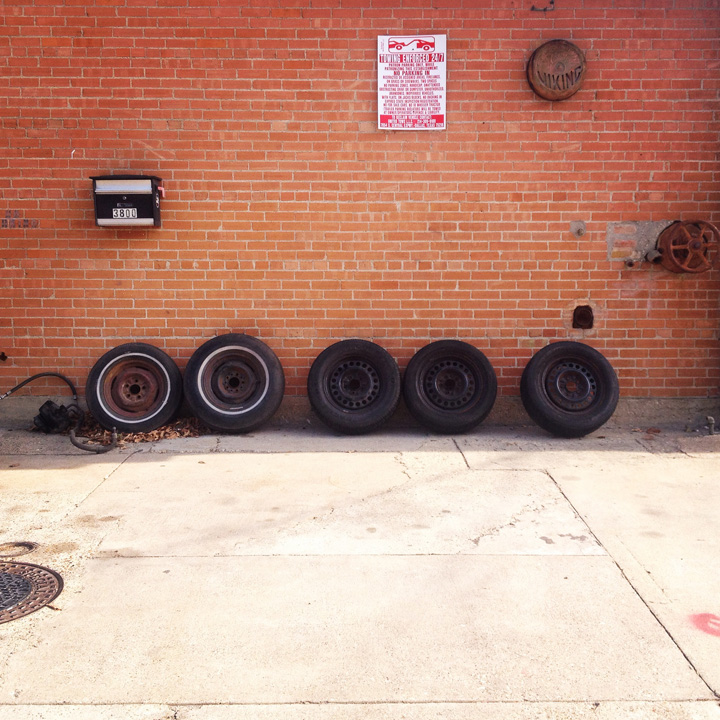
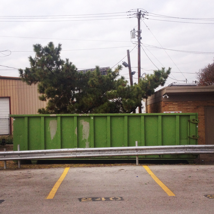
This past September, on my second day of being an Outsider, I walked from Exposition Park to Murray Street Coffee on the eastern edge of Deep Ellum.  I took a photograph of the streak of light that streams down at noon between the eastern and western lanes of traffic of the Route 30 overpass. For the past six months, I’ve continued to capture moments of the unexpected and of the delightfully mundane within a relatively small walking radius of our office on Exposition Avenue.

At first I knew nothing about where I was. I knew nothing about Exposition Park, or even anything about Texas. Everything was different, the plants were strange, the heat was brutal, the sun a bit blinding. It was easy to meander, to get just a little bit lost. It became midday ritual of wandering around the same few blocks in search of the unexpected.

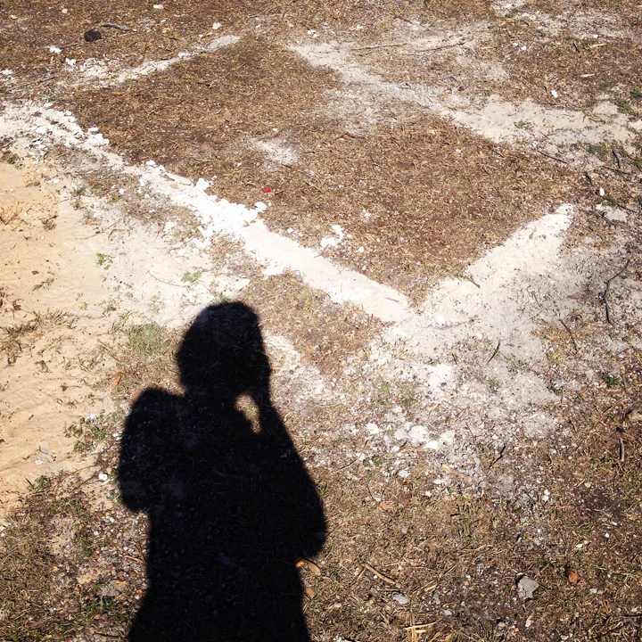
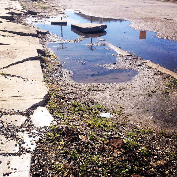
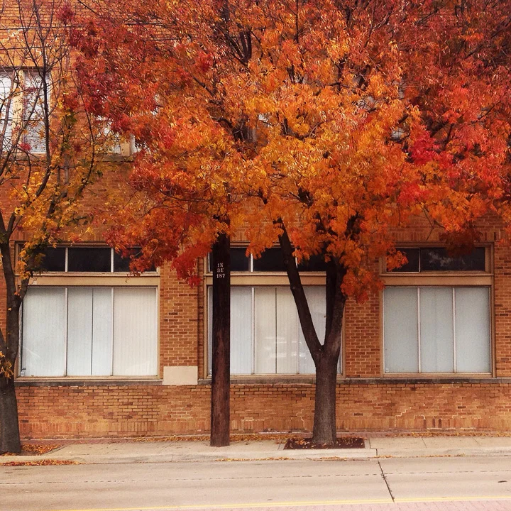
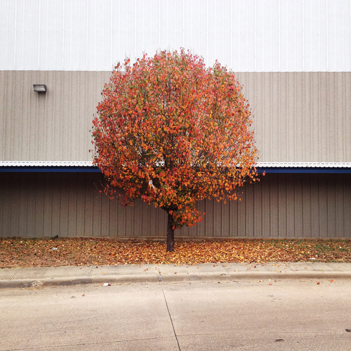
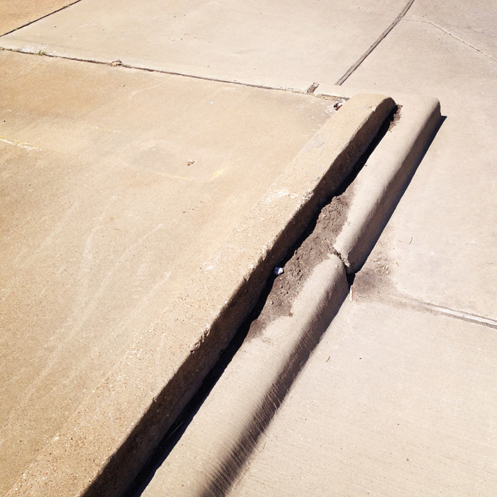
It also became an experiment in seeing. I wanted to walk around the same block three or four times a week, and to see something that I hadn’t seen before. Eventually, I would know when a dumpster appeared, and when it left, when the rain caused a sidewalk to sink and crack even further. I know when the last leaves fell from a tree, and when the first tinge of green appeared.

In September, Peter Graves posted about his research into the history of Exposition Park by studying historic maps. This is another layer to that same story. As landscape architects, we have many ways of learning about a place. There are maps, and data. There are the stories of the place and its people. But there is also careful observation of the material condition of place. An observation of material that tells a story of people and processes.

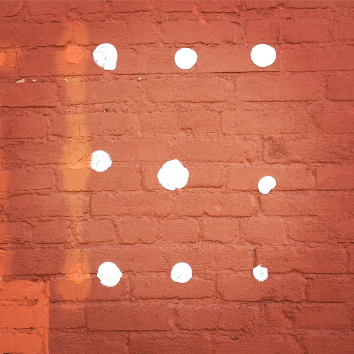
This series isn’t about the exact composition or resolution of each image. It’s about looking at sidewalks with curiosity to learn their stories. It’s a practice in the everyday act of walking, and a practice of seeing. It's a practice of being able to get lost in your own backyard, and to look with wonder at the spaces that you thought you knew.

Historical Maps are Cool: Did Our Office Used to Be a Veterinary Hospital?

1918: Expo Park, a little slice of Old East Dallas.

Recently at Studio Outside, we’ve been interested in discovering more about the history of our neighborhood, Exposition Park in Dallas. Expo Park, as the locals call it, is comprised of a small wedge between Fair Park and Deep Ellum. A neighborhood dominated by early-1900’s-era brick industrial buildings and tree-lined avenues, Expo Park is architecturally interesting yet receives little fanfare in relation to its big brother, Deep Ellum.

I’ve been interested in maps for as long as I can remember, specifically historical maps. Seeing “what was there” and imagining your city, neighborhood, or home in an entirely different era is an exercise I really enjoy, especially when it comes to unearthing and wandering through old (and sometimes cryptic) maps. 

The Sanborn Fire Insurance Maps are especially useful and interesting for urban historical exploration. Sanborn Maps, created at various intervals from around 1885 through the mid 1900's, are hand-drawn color representations of streets, alleyways, buildings, and major topographical or ecological features in dense urban areas throughout the United States. Luckily, Sanborns are available for Exposition Park for the years of 1899, 1905, 1922, and 1950, giving a few points of reference ranging from the neighborhood's origins to the booming businesses of Fair Park's heyday. 

Below are those maps, all rendered at the same relative scale. A red dot points out the current location of Studio Outside's office. (click to enlarge the image)

Current aerial of the office and surrounding area, Fair Park far right, Interstate 30 far left. 

1899, Detail

By 1905 the creek (Haskell Branch) has been buried in locations where it crosses the street as the area continues to develop.

By 1922, the neighborhood is almost fully developed, with a Cinema, Veterinary Hospital, and multiple manufacturers populating the area.

1922 Detail. Notice how close our office is the the old Veterinary Hospital! However, the current office building has not yet been constructed. 

By 1950, the current form of the neighborhood is beginning to take shape (see the original aerial view). 

The Studio Outside office building has been constructed, and is in use as a bottling factory. The Cinema has been converted into a hotel (far right), and a post office has been constructed. 

We'll be posting more about Exposition Park as our investigation into the history of this unique area continues!

All maps are via The University of Texas - Sanborn Collection. Use of Sanborn Maps City of Dallas: 1899, 1905, 1922 and 1922-1950 reprinted / used with permission from The Sanborn Library, LLC.